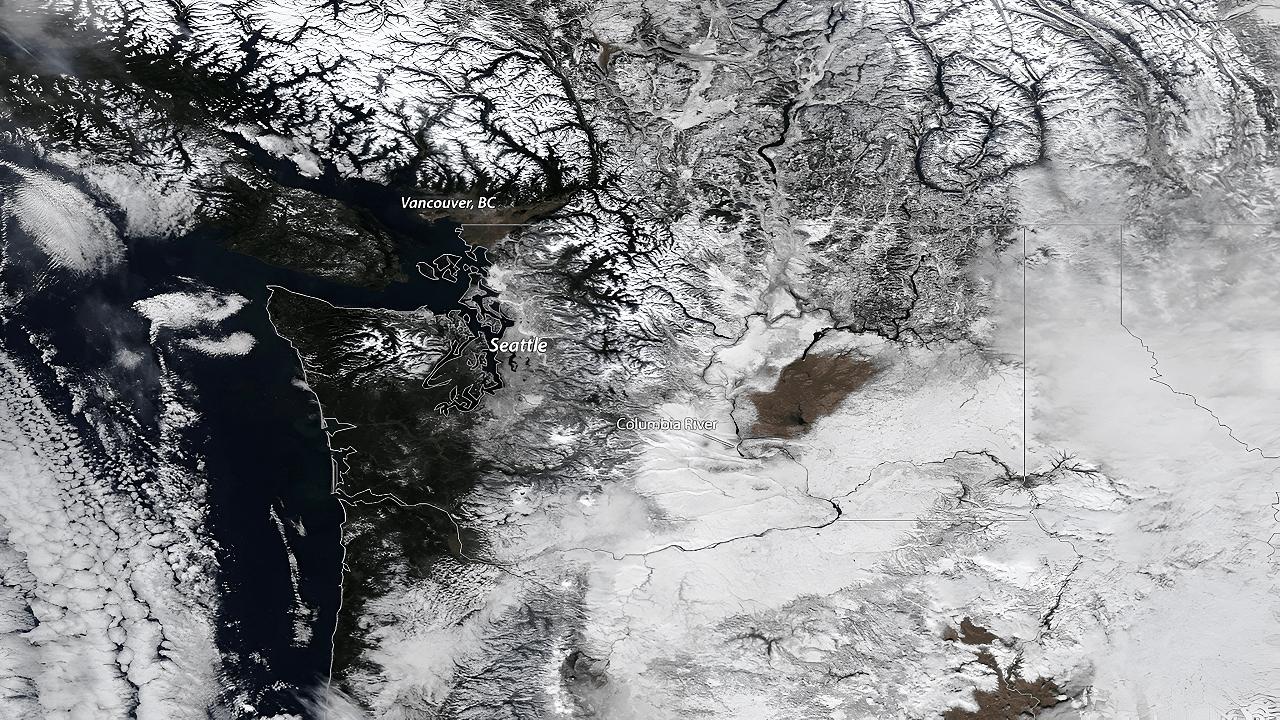
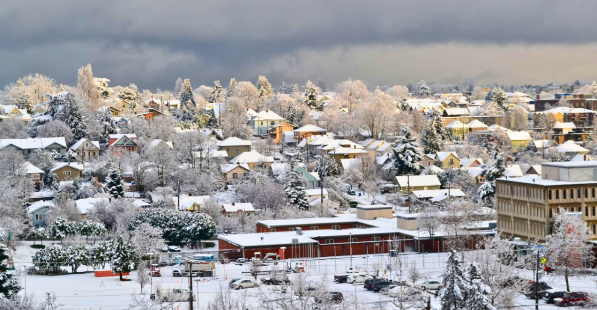
The Pacific Northwest saw an early taste of winter in October 2025, with flakes falling across mountain elevations in Oregon and Washington. While most valleys received rain, the higher Cascades and foothills were covered in a layer of snow much earlier than normal.
Residents accustomed to autumn rain experienced a sudden switch, as mountain communities transitioned quickly to winter weather. Forecasters noted that while October snow is not unprecedented, this year’s early event might give us a glimpse into the future.
Snowfall By the Numbers
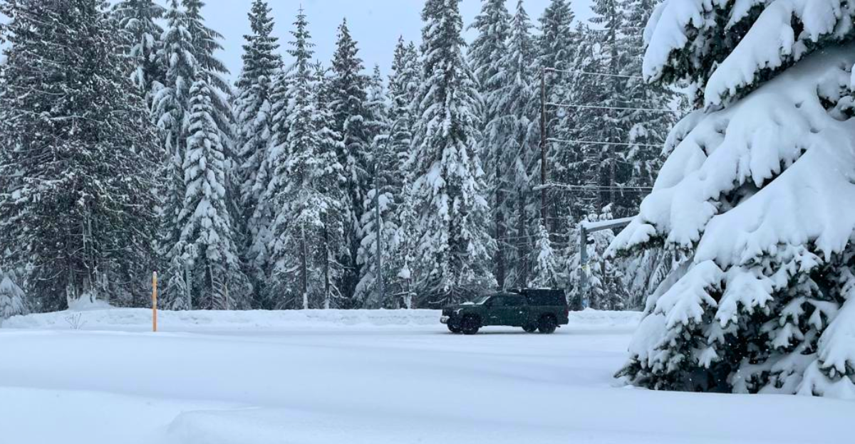
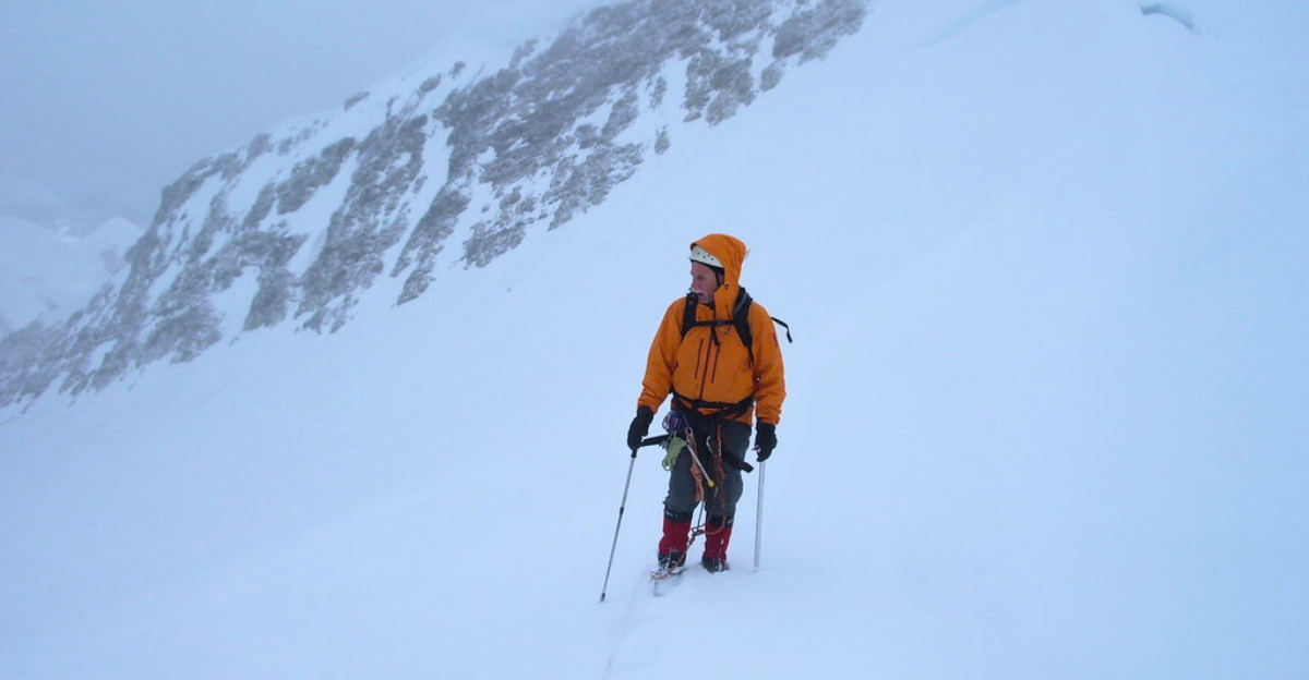
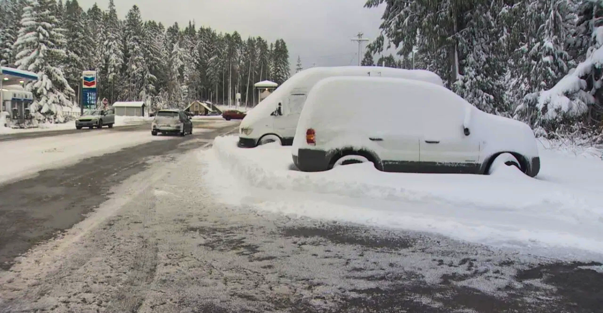
In mid-October, weather systems dropped between 6 and 16 inches of snow on the highest peaks of Washington’s and Oregon’s Cascades, though totals varied by location. Ski resorts and mountain passes, like Mission Ridge and Mount Hood, reported accumulations nearing 10 to 20 inches at the very highest elevations, yet lower elevations largely saw rain.
The National Weather Service noted that some mountain areas received more snow in 36 hours than they typically see in several weeks, impacting local travel and recreation.
What Caused This Sudden Change?
Meteorologists traced this early snow to a strong Pacific weather pattern supported by a developing La Niña. Cooler ocean waters near the equator contributed to a persistent upper trough near the Gulf of Alaska, steering moist, cold air into the Pacific Northwest.
Experts explained that the interplay between ocean temperatures and atmospheric patterns can sharply alter local weather, with the combination of La Niña and a moisture-laden jet stream producing ideal conditions for snow in the Cascades in mid-October.
How It All Unfolded
By the second week of October, cold air masses began descending southward from Alaska. When these collided with Pacific moisture, mountain snowfall developed rapidly, especially above 4,000 to 5,000 feet. Temperatures in the region’s valleys dropped into the 40s, and at elevation, overnight lows reached into the 20s, bringing slippery and icy conditions to local passes.
The scattered snow surprised some outdoor enthusiasts, prompting early travel advisories for high-country routes and reinforcing the need for seasonal vigilance.
La Niña’s Seasonal Return
Climate forecasts confirm La Niña’s return this autumn, with NOAA citing a 71% likelihood that the phenomenon will persist into winter 2025–26. Historically, La Niña brings cooler, wetter weather to the Pacific Northwest, favoring increased rain and snow in the mountains.
Experts noted that while La Niña typically sets the stage for a variable and sometimes snowy season, the strength and timing of individual storms still vary widely each year.
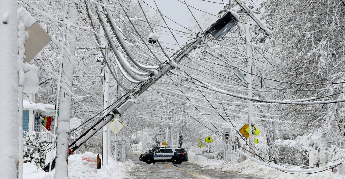
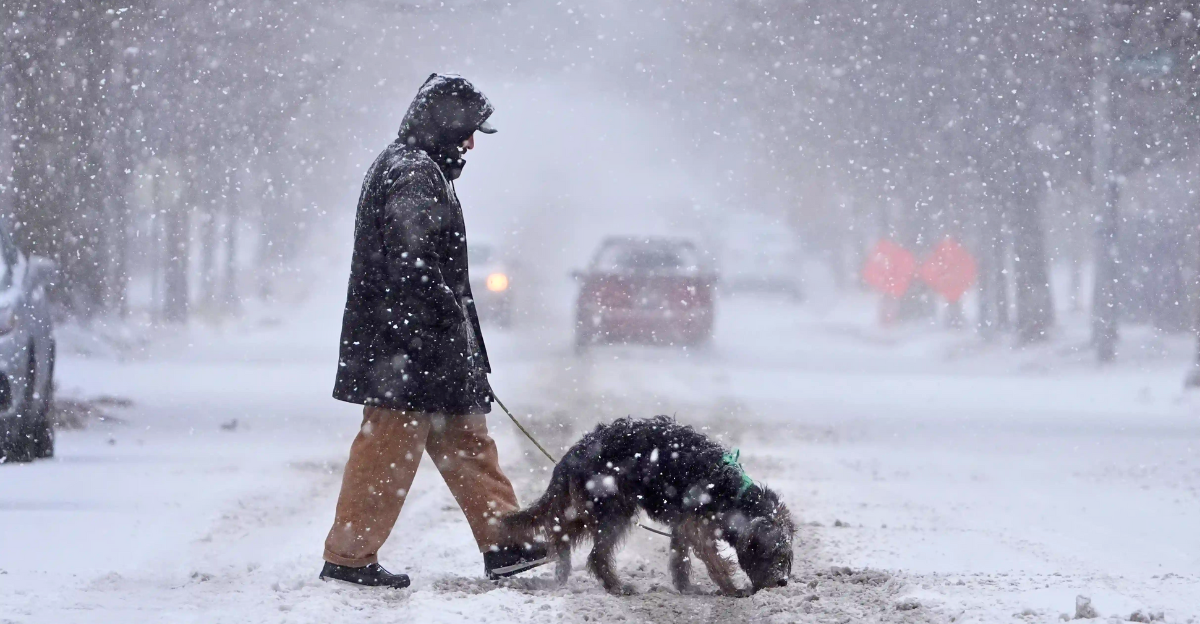
Cascades Roads and Winter Safety
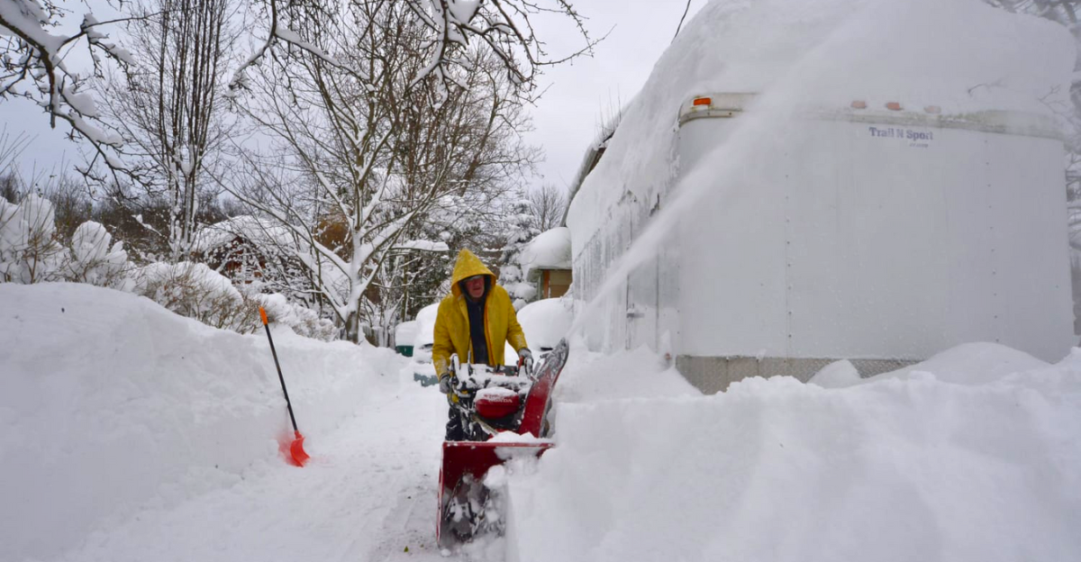
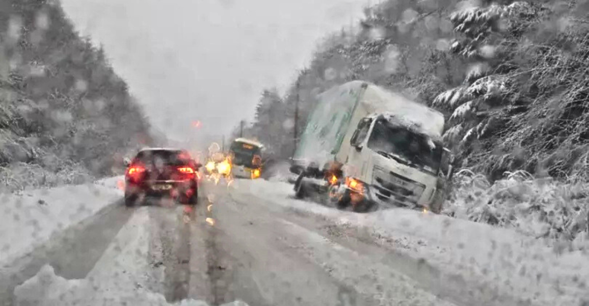
Heavy mountain snow brought temporary closures and warnings for several Cascade passes. Highways like Snoqualmie and Stevens Pass experienced brief shutdowns and delays due to slick conditions and accumulation at high elevations.
Snowplows worked rapidly to clear major routes, but most incidents were short-lived and localized to remote areas. These bursts of snow show just how quickly conditions can change, reinforcing the importance of early readiness for mountain travelers.
Early Snow

While October 2025 brought a notable early-season snow to some Pacific Northwest mountains, meteorological records indicate it was well within the range of recent decades. Previous substantial October snows have occurred in high elevations. In 2020, some sites saw minor accumulations.
Most of the snow this year was limited to isolated high-altitude sites, and measurements did not approach or double benchmarks from previous major early snowfalls.
Role of Atmospheric Rivers
The intensity of this early storm was linked to a moderate atmospheric river, narrow bands of concentrated Pacific moisture. When this moisture surged into colder air over the mountains, snowfall rates increased, especially at elevation.
This year’s atmospheric river coincided with below-freezing highs in the peaks, ensuring much of the mountain moisture fell as snow and helping build the early snowpack.
Brief Whiteout Conditions
At times, gusty winds in the ridges and passes reduced visibility and created brief whiteout conditions, especially near the crest of the Cascades. Peak wind gusts reached 30–40 mph, sometimes making it dangerous for travelers on exposed roadways.
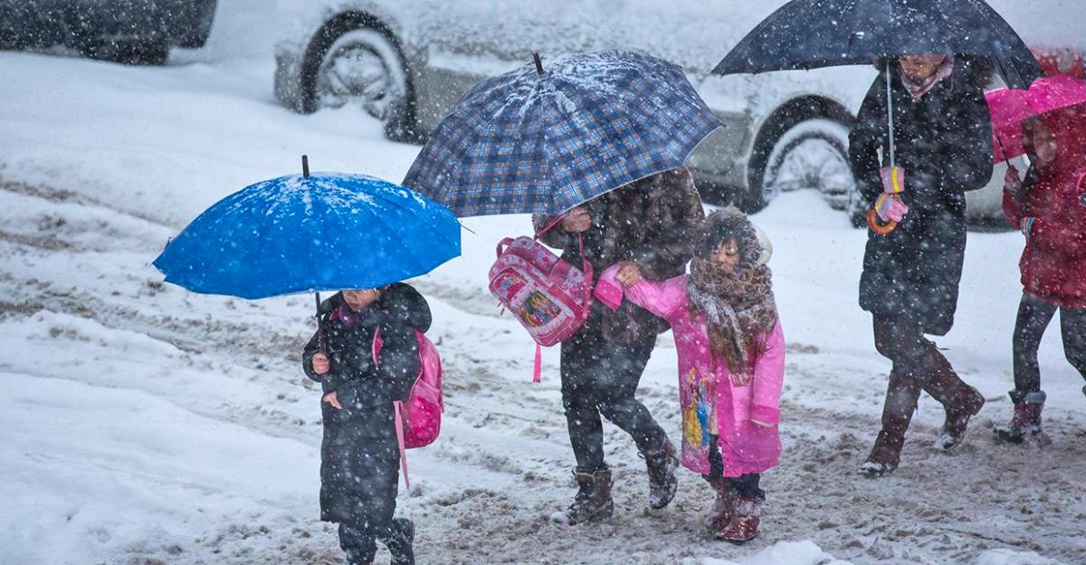
While most communities experienced only isolated snow squalls, these mountain microclimates reminded drivers and hikers that the transition from autumn to winter requires extra caution and preparation for sudden changes in visibility and conditions.
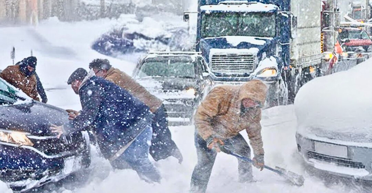
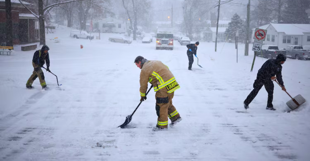
Community Response and Precautions
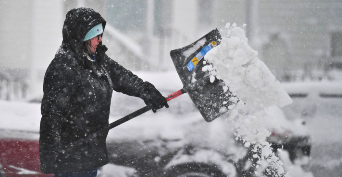
Local authorities in mountain towns issued timely travel advisories and recommendations during peak snow bursts. In some small communities, schools and local businesses delayed opening for safety, though closures were limited.
Residents helped each other navigate early winter conditions, distributing sand for icy roads and preparing emergency kits.
Utility Impact and Power Safety
A handful of outages were reported due to wind and heavy, wet snow affecting power lines at higher elevations, but widespread power loss did not occur. Local utility companies responded quickly, restoring service within hours and sometimes by the next day.
Safety officials reminded residents to use generators safely and to be mindful of carbon monoxide risks. The early event prompted renewed focus on checking infrastructure before winter.
Economic Influence
Early snow primarily affected recreational and transit activities in high-elevation areas. While the timing of snow can present challenges for travel, there were no widespread reports of crop loss or major impacts on delivery schedules.
Most agricultural operations continued as normal, benefitting from the moisture. Small businesses in ski towns framed the event as a welcome preview, to the delight of winter sports enthusiasts.
Environmental Effects
The October snowpack at higher elevations altered migration patterns for some wildlife, prompting elk and deer to shift routes earlier than usual and encouraging bears to prepare for hibernation ahead of schedule.
While most species have adapted to variable autumns in the Pacific Northwest, biologists noted this year’s snow could briefly reduce available forage at altitude.
Rarity of Early Mountain Blizzards
True October blizzards in the Pacific Northwest lowlands are historically rare, with only a handful of severe snow events having been recorded below 3,000 feet in the last century. Mountain snow is far more common, but exceptionally heavy October accumulations remain an exception.
Forecasters and climate scientists are studying these events closely, looking for clues about the atmospheric patterns that drive unexpected snow in shoulder seasons and provide insight into local climate shifts.
Climate Change and Weather Patterns
Scientists caution that while no single storm signals climate change, there are signs of increasing variability, like warmer and colder bursts, stronger ENSO cycles, and shifting seasonal boundaries.
The interplay between La Niña, Pacific jet streams, and atmospheric rivers continues to evolve. This year’s early snow is part of a larger mosaic of climate observations helping researchers predict future weather risks and better understand how global changes may affect the Pacific Northwest’s rhythms and extremes.
Flood Risks After Snow
Rapid snowmelt following early storms can pose localized flood risks in rivers and streams near the Cascades. Scientists advise that early snow acts as water storage, but rising temperatures and heavy rain can quickly accelerate runoff.
Local watershed authorities have reinforced drains and levees, preparing for any rapid changes in flow. This year, communities downstream of mountain snow are monitoring forecasts for rain events, ready to respond to any potential flooding as winter approaches.
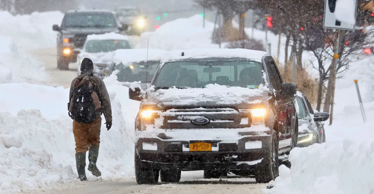
Emergency Preparedness Lessons
The October snowstorm reinforced the need for Pacific Northwest communities to check emergency supplies before winter sets in. Local governments reminded residents to review kits for batteries, heaters, food, and proper clothing, advising preparedness to start well before the first significant snowfall.
The event prompted updates in first responder training protocols, helping schools and agencies streamline closure and communication strategies.
Anticipating the 2025–26 Winter

With La Niña still active, forecasters expect a chillier and somewhat wetter winter ahead for the Pacific Northwest. While October’s snow was largely restricted to the high Cascades and was not historic, it serves as a possible indicator of an energetic season to come.
Private and government forecasters suggest that residents should brace for a winter defined by frequent storms, potential travel disruptions, and periods of intense cold in mountain passes and valleys.
Broader Western U.S. Impacts
The atmospheric patterns that brought early snow to the Northwest also influenced weather in Northern California and the Sierra Nevada, with moderate snow expected at elevations above 7,000 feet.
NOAA predicts ongoing shifts in the jet stream could steer further moisture south, potentially impacting the entire West Coast. This interconnected climate system means episodes in the Pacific Northwest rarely stay isolated.
Moving Forward and Adapting

As the skies clear and snow begins to melt, Pacific Northwest communities are using this early season as a learning opportunity.
Meteorologists and climate experts urge residents to expect continued variability, reinforcing the value of adjusting habits and systems to thrive in an era of changing weather extremes.